to the White Lady and Beyond!
...paddling the Dauphin Narrows
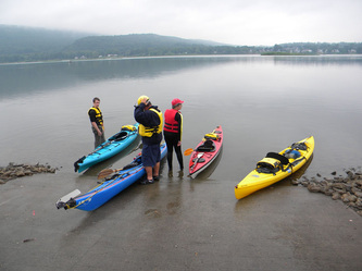
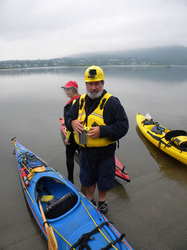
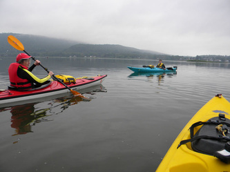
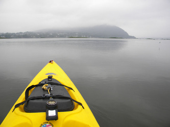
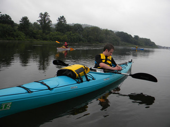
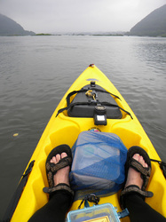
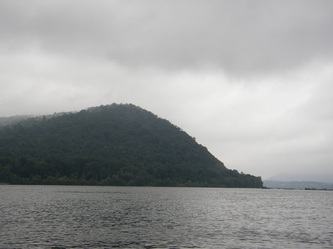
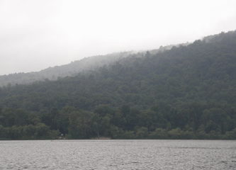
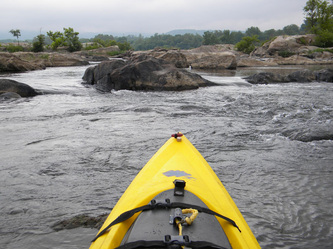
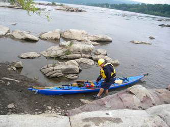
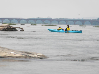
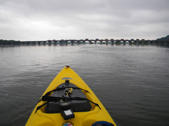
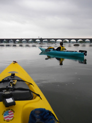
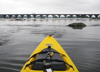
Three friends and I set out on a drizzly Wednesday in August to paddle the portion of the Susquehanna River north of Harrisburg. The Susquehanna looks like a sprawling tree from Google Earth, its branches in New York, its trunk ending in the Chesapeake Bay (the Bay is actually the drowned feet of the River). In the broad farming valleys of southern PA, the River is wide, trapped by numerous dams which push it into deep, slow lakes. North of Harrisburg the land gets bumpier, mountains, rocks, the Great North Woods. The River gets steeper and rockier too, flowing cold clear water interrupted by class two rapids (strongly moving water and rocks to avoid, not actual "whitewater" yet, but it requires some attention to go downstream, and some skill to go upstream). Two of us were in sea kayaks, 17' ships designed for open water (a Perception Sea Lion and a Necky Eskia). I paddled my friend's ScupperPro from Ocean Kayak Inc. a nice lean sit-on, maneuverable and efficient. And Terry piloted her (oooooooooooo, aaaaaaaahhhhhhhh) Eddyliine Merlin, a light, fast, agile little privateer of a touring kayak. The Sea Lion and the Eskia were not designed to steer around rocks, so paddling upstream through rapids got interesting. The other two boats are shorter, more maneuverable, and did fine. All of us (except the fifteen year old boy Scout) are of an age when we question expeditions which are not relaxing. Some of us conversed like mariners.
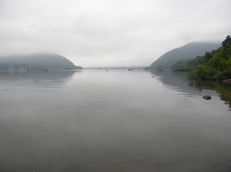
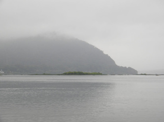
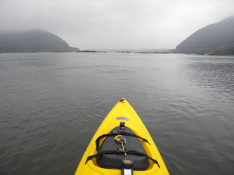
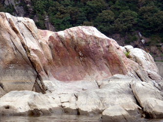
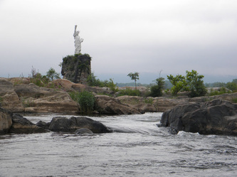
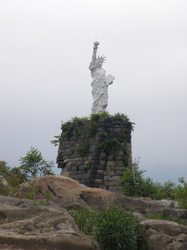
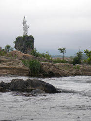
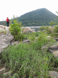
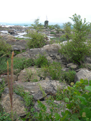
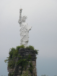
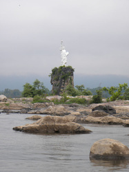
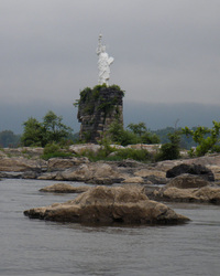
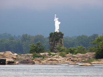
It is a gorgeous piece of river, Ft. Hunter park is a great place to put-in at (real restrooms, oooooo aaaahhhh!). Paddling from the put-in to the Statue of Liberty (a 25' tall replica originally made of venetian blinds... yes... you read that right) is an upstream paddle against some current. There are shallows, small islands, places to pull out and rest or snack. You'll go through a few rock gardens with moving water, you'll have to paddle hard, but it's not "rapids" yet. The Lady stands on a stone tower in the midst of a lovely rock garden, you can get fairly close, and there are plenty of rock islands and hidden coves to explore.
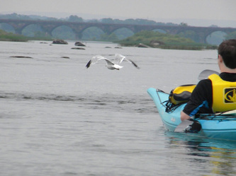
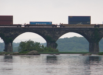
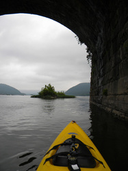
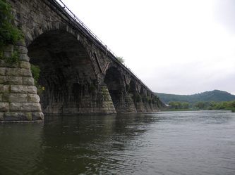
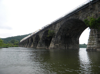
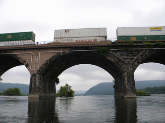
The downstream run is easy, straight to the put-in. If you go beyond the put-in, you'll see the stone bridge, longest one of its kind in the world, sit under it and you might hear the roar of a train passing overhead.
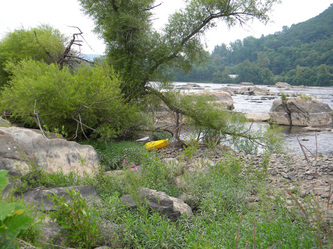
going back to the put-in is where it gets interesting. You've just paddled through a nice rapid. Good luck getting back UP it. We did, with some major effort (the shorter boats did better). Going to River Left (where the put-in is) finds somewhat quieter waters (the edges are generally slower than the middle of any river). Watch out for the siltfest on some of the beaches ("what?"...gloop!..glerk...glub... "Eeeeewwww!"), light mud tends to pile up on point bars and some beaches.
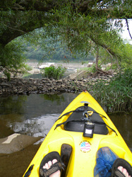
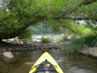
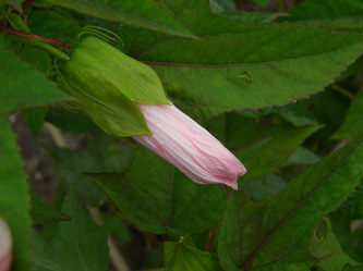
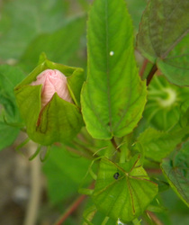
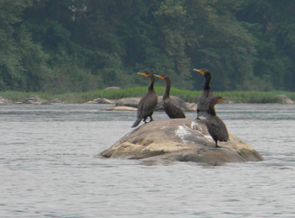
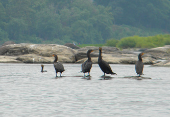
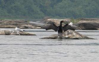
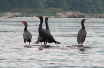
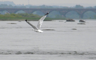
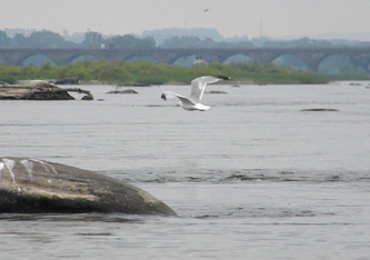
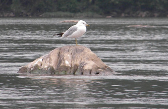
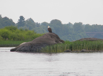
All in all, a gorgeous paddle, lots of wildlife; seabirds, herons, egrets, cormorants, bald eagles. Willows on islands and edges. I found a hibiscus (some are native) on one of the islands. Of course, I also found the invasive purple loosestrife too.
Take a camera, even if it looks like rain.
The Susquehanna River Trail extends 24 miles from Halifax to Harrisburg. It incorporates four access sites and ten river islands designated for day use and primitive camping. The trail is managed by a partnership involving the Pennsylvania Fish and Boat Commission, Pennsylvania Department of Conservation and Natural Resources, the Pennsylvania Game Commission, the City of Harrisburg and the Alliance for the Chesapeake Bay. Volunteer groups have already adopted islands and access sites. These volunteers will serve as trail stewards for maintenance, monitoring resource impacts and tracking public use.
For a copy of the River Trail guide, contact the Alliance for the Chesapeake Bay at 717-236-8825.http://fishandboat.com/watertrails/susqmid/trailmap.htm
For a copy of the River Trail guide, contact the Alliance for the Chesapeake Bay at 717-236-8825.http://fishandboat.com/watertrails/susqmid/trailmap.htm
